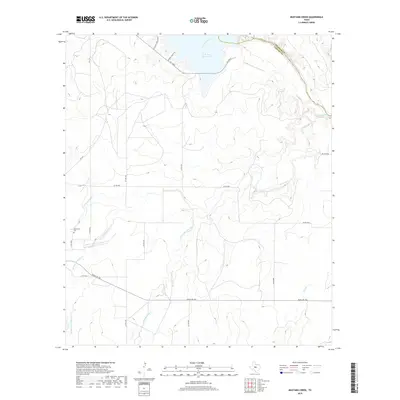
2019 Map of Mustang Creek
USGS Topo · Published 2019About this map
O. H. Ivie Reservoir dominates the northern reaches of this landscape, where the Colorado River marks the boundary between Coleman and Concho counties. The terrain is defined by the extensive drainage network of Mustang Creek, including its North, East, Middle, and West forks. This web of seasonal waterways and dry branches, such as Salt Branch, illustrates the complex topography characteristic of the region's ranching country.
Find a feature on this map
26 named features on this map. Tap any name to fly to it.
Don’t see what you’re looking for? This feature index may not catch every label — zoom into the map to look around manually.
Map Details
Editions of this 2019 Mustang Creek Map
This is the sole edition of this map. No revisions or reprints were ever made.
Other maps of this area

1892 · Eden
USGS Topo · 1:125,000

1892 · Ballinger
USGS Topo · 1:125,000

1896 · Eden
USGS Topo · 1:125,000

1924 · Eden 1-a
USGS Topo · 1:48,000

1925 · Ballinger 3-d
USGS Topo · 1:48,000

1925 · Ballinger 4-c
USGS Topo · 1:48,000

1931 · Stacy
USGS Topo · 1:62,500

1932 · Voss
USGS Topo · 1:62,500

1932 · Paint Rock
USGS Topo · 1:62,500

1954 · Brownwood
USGS Topo · 1:250,000