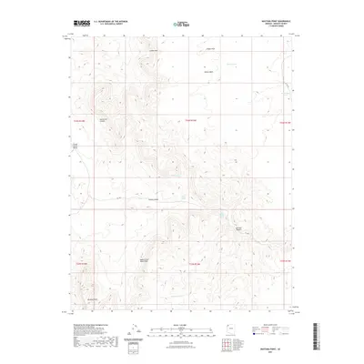
2021 Map of Mustang Point
USGS Topo · Published 2021About this map
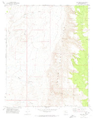
Mustang Point and the Upper Grand Wash Cliffs define the dramatic verticality of this Mohave County landscape, where water sources are critical markers for any desert traveler. This 2021 survey illustrates a region largely defined by its natural drainage systems and isolated springs, such as Coyote Spring and the tiered Lower Pigeon Spring and Upper Pigeon Spring. Small catchment points like Overnight Pond and Lundgren Pond provide subtle evidence of land management in an otherwise expansive wilderness area.
Find a feature on this map
23 named features on this map. Tap any name to fly to it.
Don’t see what you’re looking for? This feature index may not catch every label — zoom into the map to look around manually.
Map Details
Editions of this 2021 Mustang Point Map
This is the sole edition of this map. No revisions or reprints were ever made.
Other maps of this area

1886 · Mt. Trumbull
USGS Topo · 1:250,000

1892 · Mt. Trumbull
USGS Topo · 1:250,000

1953 · Grand Canyon
USGS Topo · 1:250,000

1957 · Grand Canyon
USGS Topo · 1:250,000

1958 · Grand Canyon
USGS Topo · 1:250,000

1960 · Grand Canyon
USGS Topo · 1:250,000
1971 · Castle Peak
USGS Topo · 1:24,000
1971 · Poverty Spring
USGS Topo · 1:24,000
1971 · Wildcat Ranch
USGS Topo · 1:24,000
1971 · Olaf Knolls
USGS Topo · 1:24,000