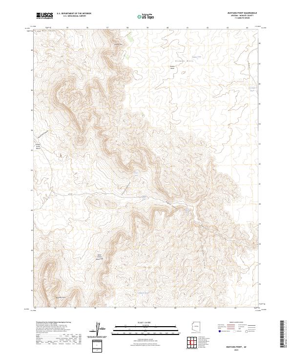
2023 Map of Mustang Point
USGS Topo · Published 2023About this map
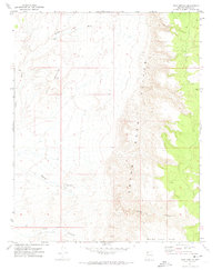
The Grand Canyon - Parashant National Monument defines the vast majority of this Mohave County landscape, where deep drainages like Pigeon Canyon and Coyote Canyon carve through the high desert plateau. The terrain is dominated by the dramatic ascent of the Upper Grand Wash Cliffs, which separate the lower benches from the higher elevations of Mustang Point and the Hidden Hills. Water sources are critical and specific in this arid environment, marked by isolated points like Upper Pigeon Spring, Coyote Spring, and cattle-related features such as Overnight Pond and Lundgren Pond. This modern survey illustrates the enduring nature of the Arizona Strip, where travel is restricted to primitive routes like Co RD 103 and RD 1002 that navigate the complex topography of the Grand Gulch Bench.
Find a feature on this map
26 named features on this map. Tap any name to fly to it.
Don’t see what you’re looking for? This feature index may not catch every label — zoom into the map to look around manually.
Map Details
Editions of this 2023 Mustang Point Map
This is the sole edition of this map. No revisions or reprints were ever made.
Other maps of this area

1886 · Mt. Trumbull
USGS Topo · 1:250,000

1892 · Mt. Trumbull
USGS Topo · 1:250,000

1953 · Grand Canyon
USGS Topo · 1:250,000

1957 · Grand Canyon
USGS Topo · 1:250,000

1958 · Grand Canyon
USGS Topo · 1:250,000

1960 · Grand Canyon
USGS Topo · 1:250,000
1971 · Castle Peak
USGS Topo · 1:24,000
1971 · Poverty Spring
USGS Topo · 1:24,000
1971 · Wildcat Ranch
USGS Topo · 1:24,000
1971 · Olaf Knolls
USGS Topo · 1:24,000