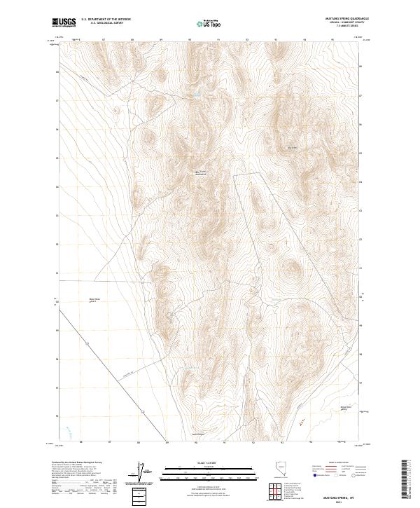
2021 Map of Mustang Spring
USGS Topo · Published 2021About this map
The high desert terrain of the Bilk Creek Mountains dominates this portion of Humboldt County, characterized by isolated water sources and expansive alkali basins. Water is the primary driver of human movement here, with named features such as Mustang Spring, Mine Spring, and DeLong Spring providing rare relief in an otherwise arid landscape. To the southwest, the edge of the Black Rock Desert appears, highlighting the transition from mountain peaks to the vast flats that define this corner of Nevada.
Find a feature on this map
16 named features on this map. Tap any name to fly to it.
Don’t see what you’re looking for? This feature index may not catch every label — zoom into the map to look around manually.
Map Details
Editions of this 2021 Mustang Spring Map
This is the sole edition of this map. No revisions or reprints were ever made.
Other maps of this area

1886 · Disaster
USGS Topo · 1:250,000

1893 · Disaster
USGS Topo · 1:250,000

1954 · Vya
USGS Topo · 1:250,000

1958 · Vya
USGS Topo · 1:250,000

1961 · Quinn River Crossing
USGS Topo · 1:62,500

1961 · Thacker Pass
USGS Topo · 1:62,500

1961 · Bottle Creek
USGS Topo · 1:62,500

1962 · Vya
USGS Topo · 1:250,000

1979 · Denio
USGS Topo · 1:100,000
1982 · Bottle Creek Slough NW
USGS Topo · 1:24,000