Loading...
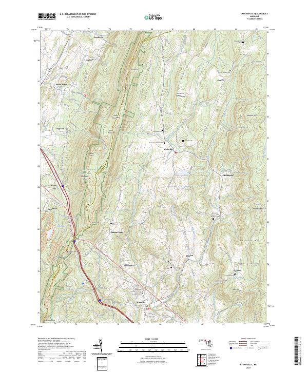
Loading map...2023 Map of Myersville
USGS Topo · Published 2023About this map
The ridge of South Mountain serves as a natural boundary between Washington and Frederick Counties, dictating the settlement patterns of this Maryland landscape. To the east, the community of Wolfsville is central to a valley defined by Middle Creek and several rural burial grounds, including the Wolfsville Reformed Cem. Further south, the town of Myersville sits near the junction of modern thoroughfares and historic routes like the Baltimore National Pike.
Find a feature on this map
139 named features on this map. Tap any name to fly to it.
Don’t see what you’re looking for? This feature index may not catch every label — zoom into the map to look around manually.
Map Details
Date Portrayed2023
Date Published2023
PublisherU.S. Geological Survey
Map TypeTopographic
Scale1:24000
Physical Dimensions24 x 29 inches
Editions of this 2023 Myersville Map
This is the sole edition of this map. No revisions or reprints were ever made.
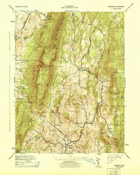
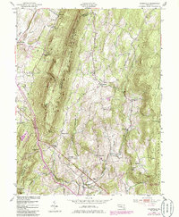
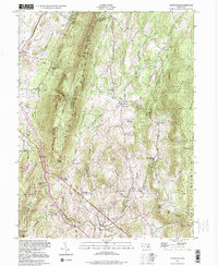
Historical Maps of June Acres Through Time
4 maps found
Featured Locations
Source Details
SourceU.S. Geological Survey
CopyrightPublic Domain