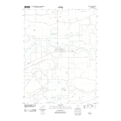
2010 Map of Myton
USGS Topo · Published 2010About this map
The Duchesne River and its confluence with the Lake Fork River anchor this topographic view of the Uinta Basin, centered on the town of Myton. The landscape is defined by an extensive network of irrigation infrastructure essential to the high desert region, including the Dry Gulch Canal, Upper Pleasant Valley Canal, and Riverdell Canal. These man-made waterways navigate the flat expanses of the North Myton Bench and South Myton Bench, illustrating the region's historical reliance on water engineering for agricultural development.
Find a feature on this map
26 named features on this map. Tap any name to fly to it.
Don’t see what you’re looking for? This feature index may not catch every label — zoom into the map to look around manually.
Map Details
Editions of this 2010 Myton Map
This is the sole edition of this map. No revisions or reprints were ever made.
Other maps of this area

1885 · Ashley
USGS Topo · 1:250,000

1885 · Uinta
USGS Topo · 1:250,000

1917 · Vernal
USGS Topo · 1:125,000

1939 · Duchesne
USGS Topo · 1:125,000

1954 · Salt Lake City
USGS Topo · 1:250,000

1954 · Vernal
USGS Topo · 1:250,000

1958 · Vernal
USGS Topo · 1:250,000

1958 · Salt Lake City
USGS Topo · 1:250,000

1960 · Salt Lake City
USGS Topo · 1:250,000

1960 · Vernal
USGS Topo · 1:250,000