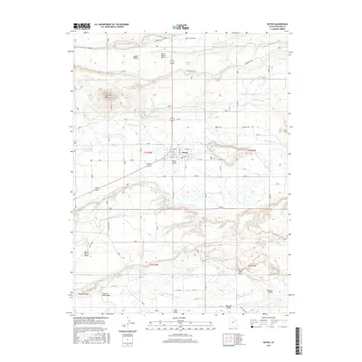
2017 Map of Myton
USGS Topo · Published 2017About this map
The Duchesne River and its intricate network of irrigation channels define the landscape of this Duchesne County region. The settlement of Myton sits at a central crossroads, surrounded by a complex system of water management including the Myton Townsite Canal, Dry Gulch Canal, and Riverdell Canal. This infrastructure highlights the historical necessity of water diversion in the Uinta Valley, where the high desert terrain of North Myton Bench and South Myton Bench meets the fertile river bottom. To the south, the terrain descends into Pleasant Valley, where the Upper Pleasant Valley Canal and Lower Pleasant Valley Canal support further agricultural reaches near Hancock Reservoir. Cultural landmarks such as Myton Cem and Ioka Cem provide points of interest for genealogists, while the distinct prominence of Flattop Butte serves as a natural navigational marker above the river valley.
Find a feature on this map
49 named features on this map. Tap any name to fly to it.
Don’t see what you’re looking for? This feature index may not catch every label — zoom into the map to look around manually.
Map Details
Editions of this 2017 Myton Map
This is the sole edition of this map. No revisions or reprints were ever made.
Other maps of this area

1885 · Ashley
USGS Topo · 1:250,000

1885 · Uinta
USGS Topo · 1:250,000

1917 · Vernal
USGS Topo · 1:125,000

1939 · Duchesne
USGS Topo · 1:125,000

1954 · Salt Lake City
USGS Topo · 1:250,000

1954 · Vernal
USGS Topo · 1:250,000

1958 · Vernal
USGS Topo · 1:250,000

1958 · Salt Lake City
USGS Topo · 1:250,000

1960 · Salt Lake City
USGS Topo · 1:250,000

1960 · Vernal
USGS Topo · 1:250,000