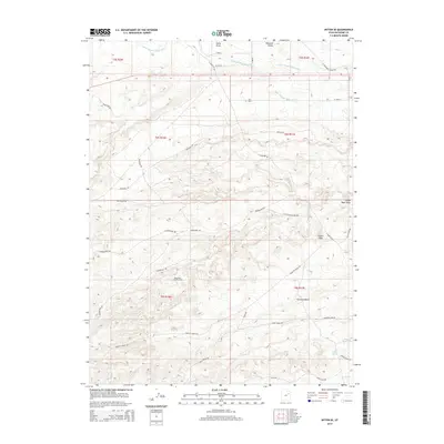
2014 Map of Myton SE
USGS Topo · Published 2014About this map
Monument Butte Oil Field anchors the central landscape of this Duchesne County region, illustrating the industrial footprint of energy extraction in the Uintah Basin. The terrain is defined by a complex network of arid ridges and depressions, including Wells Draw and the prominent Pariette Bench. This 2014 survey reveals an extensive system of utility and access roads such as Pariette Bench Rd and Castle Peak Cutoff Rd that crisscross the high desert to service the scattered well pads.
Find a feature on this map
40 named features on this map. Tap any name to fly to it.
Don’t see what you’re looking for? This feature index may not catch every label — zoom into the map to look around manually.
Map Details
Editions of this 2014 Myton SE Map
This is the sole edition of this map. No revisions or reprints were ever made.
Other maps of this area

1885 · East Tavaputs
USGS Topo · 1:250,000

1885 · Ashley
USGS Topo · 1:250,000

1885 · Uinta
USGS Topo · 1:250,000

1886 · Price River
USGS Topo · 1:250,000

1896 · Price River
USGS Topo · 1:250,000

1917 · Vernal
USGS Topo · 1:125,000

1939 · Duchesne
USGS Topo · 1:125,000

1953 · Nutters Hole
USGS Topo · 1:62,500

1954 · Salt Lake City
USGS Topo · 1:250,000

1954 · Vernal
USGS Topo · 1:250,000