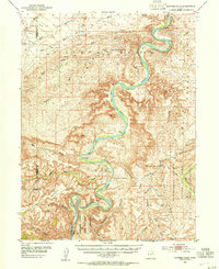
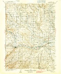
1953 Map of Nutters Hole
USGS Topo · Published 1954About this map
The Green River carves a deep, serpentine path through the Uinta Basin in this mid-century topographic study, revealing a landscape defined by dramatic elevation changes and remote river bottoms. The water flows past numerous named flats including Moon Bottom and Long Bottom, reaching the northern edge of the formidable Desolation Canyon. This area is characterized by complex geological formations like The Wrinkles and the sheer walls of Ninemile Canyon, which meets the river near the namesake Nutters Hole.
Find a feature on this map
51 named features on this map. Tap any name to fly to it.
Don’t see what you’re looking for? This feature index may not catch every label — zoom into the map to look around manually.
Map Details
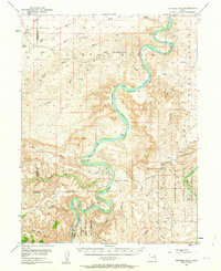
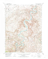
Editions of this 1953 Nutters Hole Map
3 editions found
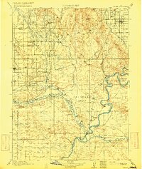
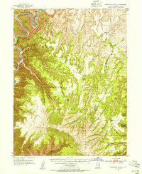
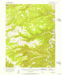
Other maps of this area

1885 · East Tavaputs
USGS Topo · 1:250,000

1885 · Ashley
USGS Topo · 1:250,000

1885 · Uinta
USGS Topo · 1:250,000

1886 · Price River
USGS Topo · 1:250,000

1896 · Price River
USGS Topo · 1:250,000
1917 · Vernal
USGS Topo · 1:125,000
1939 · Duchesne
USGS Topo · 1:125,000
1953 · Firewater Canyon
USGS Topo · 1:62,500
1954 · Flat Canyon
USGS Topo · 1:62,500

1954 · Salt Lake City
USGS Topo · 1:250,000