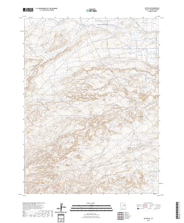
2023 Map of Myton SE
USGS Topo · Published 2023About this map
Pleasant Valley and the surrounding high desert terrain in Duchesne County are defined by an intricate network of water management features designed to support life in this arid landscape. The Lower Pleasant Valley Canal and Upper Pleasant Valley Canal trace the contours of the northern reaches, while the southeast corner features the Snyder Reservoir and Snyder Spring. This 2023 survey by the U.S. Geological Survey illustrates the transition from the irrigated valley floors to the higher elevations of Pariette Bench. Significant geological landmarks like Castle Peak and the deep incisions of Wells Draw and Castle Peak Draw dominate the central and southern portions of the sheet. The map also records modern infrastructure, including Wells Draw Rd and Sandstone Rd, which provide access to this corner of the Uinta Basin.
Find a feature on this map
18 named features on this map. Tap any name to fly to it.
Don’t see what you’re looking for? This feature index may not catch every label — zoom into the map to look around manually.
Map Details
Editions of this 2023 Myton SE Map
This is the sole edition of this map. No revisions or reprints were ever made.
Other maps of this area

1885 · East Tavaputs
USGS Topo · 1:250,000

1885 · Ashley
USGS Topo · 1:250,000

1885 · Uinta
USGS Topo · 1:250,000

1886 · Price River
USGS Topo · 1:250,000

1896 · Price River
USGS Topo · 1:250,000

1917 · Vernal
USGS Topo · 1:125,000

1939 · Duchesne
USGS Topo · 1:125,000

1953 · Nutters Hole
USGS Topo · 1:62,500

1954 · Salt Lake City
USGS Topo · 1:250,000

1954 · Vernal
USGS Topo · 1:250,000