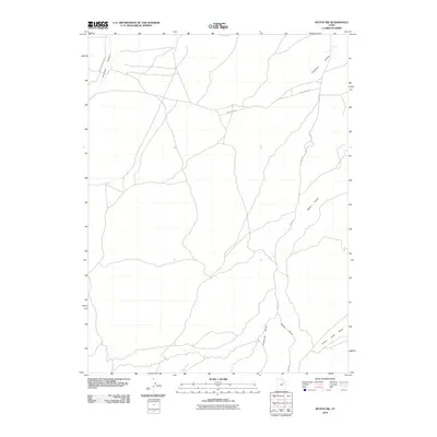
2010 Map of Myton SW
USGS Topo · Published 2010About this map
Antelope Canyon and the surrounding drainage network of Duchesne County define this portion of the Uinta Basin as it appeared in the early 21st century. The landscape is marked by several prominent geological depressions including Pleasant Valley, Wells Draw, and Castle Peak Draw, which funnel seasonal runoff through the arid terrain. While the area lacks concentrated settlements, the human footprint is visible through a deliberate network of resource and access routes. Industrial and ranching access is facilitated by thoroughfares such as 9 Mile Rd and Antelope Canyon Rd, while the presence of BLM Fence Rd points to the management of public lands. Gilsonite Draw suggests the regional significance of mineral extraction, specifically the unique hydrocarbon gilsonite, which has historically driven development throughout this part of Utah.
Find a feature on this map
8 named features on this map. Tap any name to fly to it.
Don’t see what you’re looking for? This feature index may not catch every label — zoom into the map to look around manually.
Map Details
Editions of this 2010 Myton SW Map
This is the sole edition of this map. No revisions or reprints were ever made.
Other maps of this area

1885 · Uinta
USGS Topo · 1:250,000

1886 · Price River
USGS Topo · 1:250,000

1896 · Price River
USGS Topo · 1:250,000

1939 · Duchesne
USGS Topo · 1:125,000

1954 · Salt Lake City
USGS Topo · 1:250,000

1956 · Price
USGS Topo · 1:250,000

1958 · Salt Lake City
USGS Topo · 1:250,000

1960 · Salt Lake City
USGS Topo · 1:250,000

1960 · Price
USGS Topo · 1:250,000

1962 · Price
USGS Topo · 1:250,000