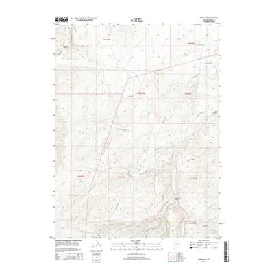
2014 Map of Myton SW
USGS Topo · Published 2014About this map
Antelope Canyon and the winding course of Antelope Cr define the western reaches of this Duchesne County landscape. The area is characterized by a complex network of utilitarian access routes that follow the natural contours of the high desert benches, including Broken Bench Rd and the Pariette Bench Rd. To the south, the terrain drops into Castle Peak Draw and the distinctively named Jackrabbit Canyon Rd, illustrating the rugged drainage patterns that shape the Uintah Basin. The nomenclature of the road system, such as Buried Line Rd and Gilsonite Draw Rd, provides evidence of the region's industrial and mineral history, specifically the extraction of Gilsonite and the infrastructure required to support remote energy and mining operations. Sparse settlements like Pleasant Valley anchor the northern sections, while Wells Draw marks the eastern boundary of this high-elevation plateau.
Find a feature on this map
29 named features on this map. Tap any name to fly to it.
Don’t see what you’re looking for? This feature index may not catch every label — zoom into the map to look around manually.
Map Details
Editions of this 2014 Myton SW Map
This is the sole edition of this map. No revisions or reprints were ever made.
Other maps of this area

1885 · Uinta
USGS Topo · 1:250,000

1886 · Price River
USGS Topo · 1:250,000

1896 · Price River
USGS Topo · 1:250,000

1939 · Duchesne
USGS Topo · 1:125,000

1954 · Salt Lake City
USGS Topo · 1:250,000

1956 · Price
USGS Topo · 1:250,000

1958 · Salt Lake City
USGS Topo · 1:250,000

1960 · Salt Lake City
USGS Topo · 1:250,000

1960 · Price
USGS Topo · 1:250,000

1962 · Price
USGS Topo · 1:250,000