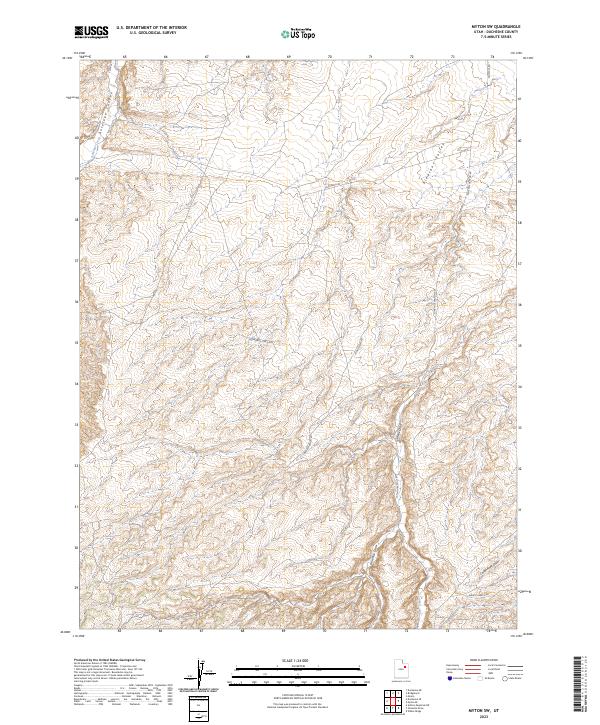
2023 Map of Myton SW
USGS Topo · Published 2023About this map
Antelope Canyon and Pleasant Valley dominate this topographical study of Duchesne County, Utah. The landscape is defined by a complex network of draws and canyons, reflecting the arid erosional patterns of the Uinta Basin. A series of infrastructure-focused routes like Buried Line Rd and BLM Fence Rd suggest a landscape managed for utility and grazing, while the historic Nine Mile Canyon Rd skirts the eastern boundary. This modern survey captures the intricate drainage systems of Wells Draw and Gilsonite Draw, illustrating how desert watercourses have shaped the local geography. Near the southern edge, Castle Peak Draw and the Pariette Bench Rd indicate the transition toward more complex benchland terrain, providing a contemporary view of these established Utah corridors.
Find a feature on this map
14 named features on this map. Tap any name to fly to it.
Don’t see what you’re looking for? This feature index may not catch every label — zoom into the map to look around manually.
Map Details
Editions of this 2023 Myton SW Map
This is the sole edition of this map. No revisions or reprints were ever made.
Other maps of this area

1885 · Uinta
USGS Topo · 1:250,000

1886 · Price River
USGS Topo · 1:250,000

1896 · Price River
USGS Topo · 1:250,000

1939 · Duchesne
USGS Topo · 1:125,000

1954 · Salt Lake City
USGS Topo · 1:250,000

1956 · Price
USGS Topo · 1:250,000

1958 · Salt Lake City
USGS Topo · 1:250,000

1960 · Salt Lake City
USGS Topo · 1:250,000

1960 · Price
USGS Topo · 1:250,000

1962 · Price
USGS Topo · 1:250,000