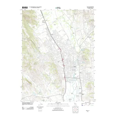
2012 Map of Napa
USGS Topo · Published 2012About this map
The Napa River winds through this detailed survey, illustrating the complex geography of California's famous viticultural valley as it appeared in the early 21st century. The map highlights the transition from the densely developed city center of Napa and Napa Abajo to the sprawling vineyard estates and historic cellars that define the northern reaches of the quadrangle. Significant agricultural landmarks such as Eshcol Winery, Monticello Vineyards, and Pannonia Winery are identified by name, reflecting the region's deep-rooted industry.
Find a feature on this map
121 named features on this map. Tap any name to fly to it.
Don’t see what you’re looking for? This feature index may not catch every label — zoom into the map to look around manually.
Map Details
Editions of this 2012 Napa Map
This is the sole edition of this map. No revisions or reprints were ever made.
Other maps of this area

1896 · Carquinez Strait
USGS Topo · 1:62,500

1898 · Karquines
USGS Topo · 1:62,500

1901 · Karquines
USGS Topo · 1:62,500

1902 · Napa
USGS Topo · 1:125,000

1916 · Mare Island
USGS Topo · 1:62,500

1921 · Mt. Vaca
USGS Topo · 1:62,500

1940 · Carquinez Strait
USGS Topo · 1:62,500

1942 · Mare Island
USGS Topo · 1:62,500

1942 · Carquinez
USGS Topo · 1:62,500

1942 · Sonoma
USGS Topo · 1:62,500