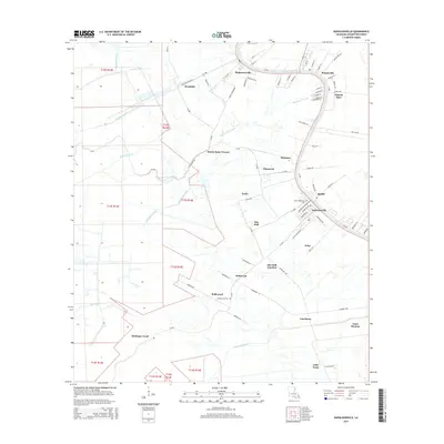
2015 Map of Napoleonville
USGS Topo · Published 2015About this map
Bayou Lafourche defines the eastern corridor of this Assumption Parish landscape, where the settlement of Napoleonville serves as a focal point for the surrounding agricultural and industrial networks. The map reveals an intricate system of drainage and transport canals, including the Attakapas Canal, Godchaux Canal, and Whitmel Canal, which support the low-lying terrain west of the bayou. These waterways are interspersed with small communities and former plantation sites like Elm Hall, Enola, and Glenwood. Genealogy and local history are anchored by landmarks such as Christ Episcopal Cem and Evening Star Cem. The presence of the Church Spur rail line and numerous named landings and junctions, such as Elm Hall Junction, underscores the area's historical reliance on both rail and water for moving the region's agricultural output during the early 21st century.
Find a feature on this map
89 named features on this map. Tap any name to fly to it.
Don’t see what you’re looking for? This feature index may not catch every label — zoom into the map to look around manually.
Map Details
Editions of this 2015 Napoleonville Map
This is the sole edition of this map. No revisions or reprints were ever made.
Other maps of this area

1892 · Donaldsonville
USGS Topo · 1:62,500

1892 · Thibodaux
USGS Topo · 1:62,500

1927 · Thibodaux NW
USGS Topo · 1:31,680

1932 · Thibodaux SW
USGS Topo · 1:31,680

1936 · White Castle
USGS Topo · 1:62,500

1938 · Labadieville
USGS Topo · 1:24,000

1939 · Donaldsonville
USGS Topo · 1:62,500

1940 · Madewood
USGS Topo · 1:31,680

1945 · New Orleans
USGS Topo · 1:250,000

1947 · Donaldsonville
USGS Topo · 1:31,680