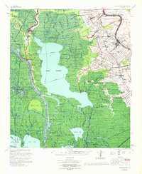
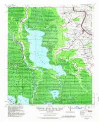
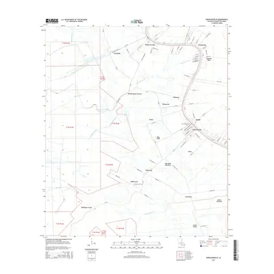
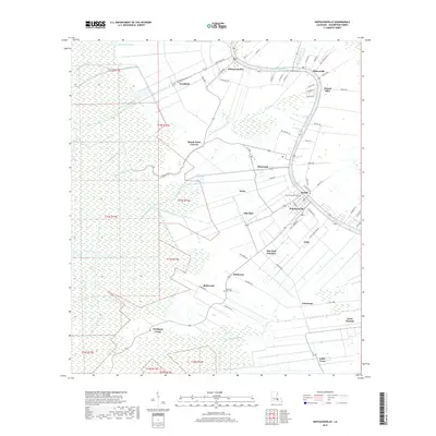
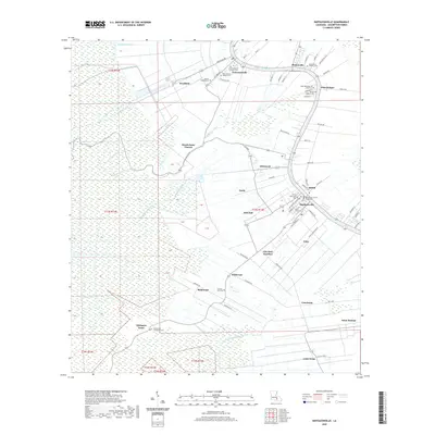
1967 Map of Napoleonville
USGS Topo · Published 1969About this map
The low-lying wetlands of Iberia Parish, Assumption Parish, and St. Mary Parish dominate this 1967 survey, where the intricate network of the Atchafalaya Basin meets the agricultural lands of Bayou Lafourche. The landscape is defined by its massive water bodies, including Lake Verret, Grassy Lake, and Lake Palourde, which are bisected by natural waterways like the Belle River and the engineered Intracoastal Waterway.
Find a feature on this map
80 named features on this map. Tap any name to fly to it.
Don’t see what you’re looking for? This feature index may not catch every label — zoom into the map to look around manually.
Map Details
Editions of this 1967 Napoleonville Map
This is the sole edition of this map. No revisions or reprints were ever made.
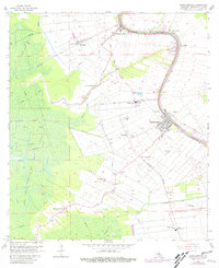
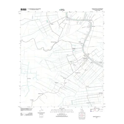
Historical Maps of Napoleonville Through Time
8 maps found
1953 Napoleonville
Assumption Parish, LA
1965 Napoleonville
Assumption Parish, LA
1967 Napoleonville
Assumption Parish, LA
2012 Napoleonville
Assumption Parish, LA
2015 Napoleonville
Assumption Parish, LA
2018 Napoleonville
Assumption Parish, LA
2020 Napoleonville
Assumption Parish, LA
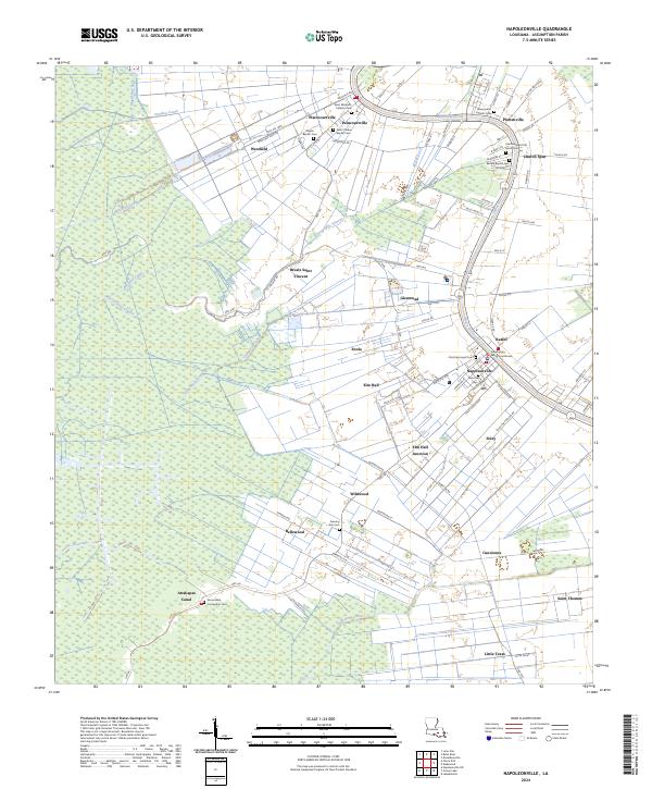
2024 Napoleonville
Assumption Parish, LA