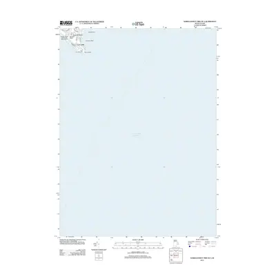
2012 Map of Narragansett Pier OE S
USGS Topo · Published 2012About this map
Point Judith anchors this maritime survey, a critical navigation point where the Atlantic Ocean meets the Rhode Island coastline. The geography is defined by its rocky outcrops, including Peaked Rock and Champlin Rock, which have long challenged coastal mariners. At the southernmost tip, the Point Judith Lighthouse stands as a sentinel over the entrance to the west passage of Narragansett Bay.
Find a feature on this map
13 named features on this map. Tap any name to fly to it.
Don’t see what you’re looking for? This feature index may not catch every label — zoom into the map to look around manually.
Map Details
Editions of this 2012 Narragansett Pier OE S Map
This is the sole edition of this map. No revisions or reprints were ever made.
Other maps of this area

1889 · Charlestown
USGS Topo · 1:62,500

1889 · Newport
USGS Topo · 1:62,500

1889 · Block Island
USGS Topo · 1:62,500

1894 · Block Island
USGS Topo · 1:62,500

1894 · Newport
USGS Topo · 1:62,500

1899 · Block Island
USGS Topo · 1:62,500

1904 · Newport
USGS Topo · 1:62,500

1919 · Charlestown
USGS Topo · 1:62,500
1920 · Newport
USGS Topo · 1:62,500

1921 · Charlestown
USGS Topo · 1:62,500