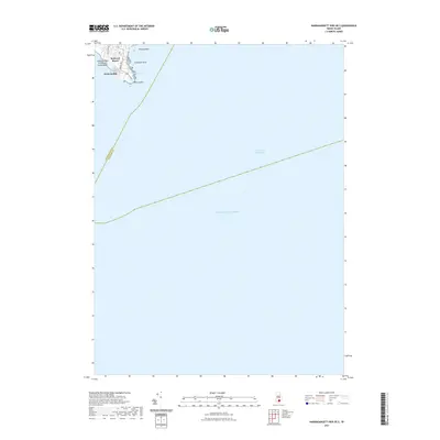
2021 Map of Narragansett Pier OE S
USGS Topo · Published 2021About this map
Point Judith stands as the primary landform on this coastal Rhode Island survey, marking a critical transition between the shore and the open Atlantic Ocean. The geography here is defined by rocky outcrops such as Peaked Rock and Champlin Rock, which flank the small settlement of Seaweed Beach. Along the western edge, the coastline is preserved at Captain Roger W Wheeler State Beach, providing a stark contrast to the residential grid shown along Chestnut Ave and Calf Ave. Inland, the small Money Pond sits just behind the shoreline, a vestige of the coastal pond systems common to the region. The map also delineates the Intracoastal Waterway and the maritime boundary between Washington and Newport counties, highlighting the area's significance for regional navigation and transit at the southern tip of the Narragansett coast.
Find a feature on this map
14 named features on this map. Tap any name to fly to it.
Don’t see what you’re looking for? This feature index may not catch every label — zoom into the map to look around manually.
Map Details
Editions of this 2021 Narragansett Pier OE S Map
This is the sole edition of this map. No revisions or reprints were ever made.
Other maps of this area

1889 · Charlestown
USGS Topo · 1:62,500

1889 · Newport
USGS Topo · 1:62,500

1889 · Block Island
USGS Topo · 1:62,500

1894 · Block Island
USGS Topo · 1:62,500

1894 · Newport
USGS Topo · 1:62,500

1899 · Block Island
USGS Topo · 1:62,500

1904 · Newport
USGS Topo · 1:62,500

1919 · Charlestown
USGS Topo · 1:62,500
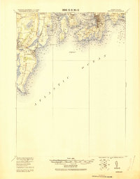
1920 · Newport
USGS Topo · 1:62,500

1921 · Charlestown
USGS Topo · 1:62,500