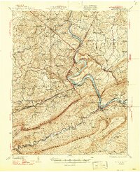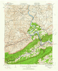
1932 Map of Narrows
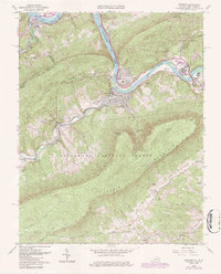
USGS Topo · Published 1963About this map
The New River carves a deep path through the Appalachians on this map, serving as the central artery for transport and settlement between West Virginia and Virginia. In this early 1930s landscape, the mountain ridges are dotted with small neighborhood institutions, such as Scratchgravel School, Pleasant Hill School, and Goodwill Chapel. The industrial and logistics footprint of the era is evident in the rail infrastructure following the river valley, notably the Virginian Ry and Norfolk and Western Ry, which pass through the Hales Gap Tunnel near the state line.
Find a feature on this map
117 named features on this map. Tap any name to fly to it.
Don’t see what you’re looking for? This feature index may not catch every label — zoom into the map to look around manually.
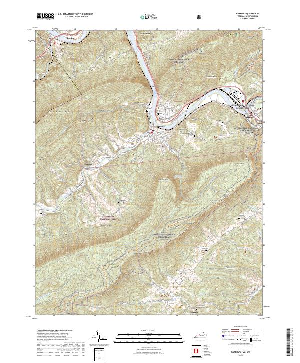
Map Details
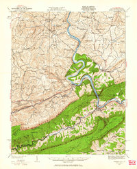
Editions of this 1932 Narrows Map
3 editions found
Historical Maps of Pearisburg Through Time
5 maps found