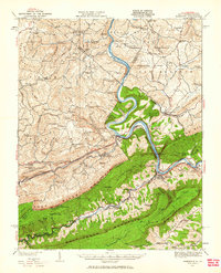
1932 Map of Narrows
USGS Topo · Published 1963About this map
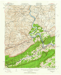
New River dominates this landscape as it carves through the Appalachian ridges at The Narrows, where the Virginian and Norfolk and Western railroads follow the water gap. The geography here is defined by industrial and community points along the river and rail corridors, from the Hales Gap Tunnel to the rural Mercers Saltworks.
Find a feature on this map
127 named features on this map. Tap any name to fly to it.
Don’t see what you’re looking for? This feature index may not catch every label — zoom into the map to look around manually.
Map Details
Editions of this 1932 Narrows Map
3 editions found

Other maps of this area

1887 · Pocahontas
USGS Topo · 1:125,000

1887 · Hinton
USGS Topo · 1:125,000

1890 · Dublin
USGS Topo · 1:125,000

1891 · Pocahontas
USGS Topo · 1:125,000

1891 · Dublin
USGS Topo · 1:125,000

1891 · Raleigh
USGS Topo · 1:125,000

1892 · Hinton
USGS Topo · 1:125,000

1894 · Pocahontas
USGS Topo · 1:125,000

1895 · Pocahontas
USGS Topo · 1:125,000

1897 · Raleigh
USGS Topo · 1:125,000