Loading...
Loading map...2022 Map of Nash
USGS Topo · Published 2022About this map
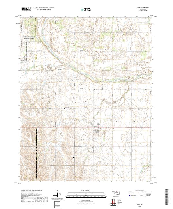
The town of Nash serves as the focal point of this northern Oklahoma landscape, situated where the high plains meet the winding course of the Salt Fork Arkansas River. The settlement's grid is clearly defined by streets like Grand Avenue and Main Street, reflecting its role as a local agricultural hub. To the northwest, the Kegelman Air Force Auxiliary Field introduces a modern military presence to the traditional township and range survey system that organizes the surrounding farms.
Find a feature on this map
38 named features on this map. Tap any name to fly to it.
Don’t see what you’re looking for? This feature index may not catch every label — zoom into the map to look around manually.
Map Details
Date Portrayed2022
Date Published2022
PublisherU.S. Geological Survey
Map TypeTopographic
Scale1:24000
Physical Dimensions24 x 29 inches
Editions of this 2022 Nash Map
This is the sole edition of this map. No revisions or reprints were ever made.
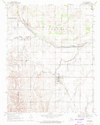
Historical Maps of Nash Through Time
Featured Locations
Source Details
SourceU.S. Geological Survey
CopyrightPublic Domain