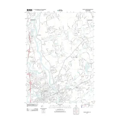
2012 Map of Nashua North
USGS Topo · Published 2012About this map
The Merrimack River bisects this landscape, serving as the historical boundary between the growing industrial centers and their suburban reaches. In Nashua, the urban grid is densely packed around the confluence of the Nashua River, featuring the landmark Indian Head and a cluster of historic interment sites including the Old Burial Ground and Woodlawn Cem. Across the water, Hudson extends eastward toward Hudson Center, anchored by the Saint Patricks Cem and the sprawling residential developments of the early 21st century. The map preserves the names of older crossroads such as Potash Corner and Thorntons Ferry, while modern infrastructure like the Everett Tpk (Toll) and David Webster Airfield illustrates the region's role as a transportation hub for southern New Hampshire. Education and community life are represented by the Thomas More College of Liberal Arts and several parochial cemeteries, such as Saint Francois Xavier Cem.
Find a feature on this map
56 named features on this map. Tap any name to fly to it.
Don’t see what you’re looking for? This feature index may not catch every label — zoom into the map to look around manually.
Map Details
Editions of this 2012 Nashua North Map
This is the sole edition of this map. No revisions or reprints were ever made.
Other maps of this area

1886 · Lowell
USGS Topo · 1:62,500

1893 · Lowell
USGS Topo · 1:62,500

1893 · Groton
USGS Topo · 1:62,500

1905 · Manchester
USGS Topo · 1:62,500

1906 · Milford
USGS Topo · 1:62,500

1918 · Lowell
USGS Topo · 1:62,500

1921 · Lowell
USGS Topo · 1:62,500

1931 · Lowell
USGS Topo · 1:48,000

1931 · Groton
USGS Topo · 1:48,000

1935 · Groton
USGS Topo · 1:62,500