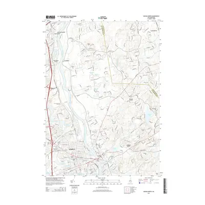
2015 Map of Nashua North
USGS Topo · Published 2015About this map
Nashua and its eastern neighbor Hudson serve as the primary anchors for this region where the Merrimack River flows south, joined by the Nashua River and the Souhegan River. The landscape is a complex network of industrial corridors and residential growth, punctuated by significant historic sites like the Old Burial Ground and various local landmarks such as Indian Head and the Taylor Falls Bridge.
Find a feature on this map
110 named features on this map. Tap any name to fly to it.
Don’t see what you’re looking for? This feature index may not catch every label — zoom into the map to look around manually.
Map Details
Editions of this 2015 Nashua North Map
This is the sole edition of this map. No revisions or reprints were ever made.
Other maps of this area

1886 · Lowell
USGS Topo · 1:62,500

1893 · Lowell
USGS Topo · 1:62,500

1893 · Groton
USGS Topo · 1:62,500

1905 · Manchester
USGS Topo · 1:62,500

1906 · Milford
USGS Topo · 1:62,500

1918 · Lowell
USGS Topo · 1:62,500

1921 · Lowell
USGS Topo · 1:62,500

1931 · Lowell
USGS Topo · 1:48,000

1931 · Groton
USGS Topo · 1:48,000

1935 · Groton
USGS Topo · 1:62,500