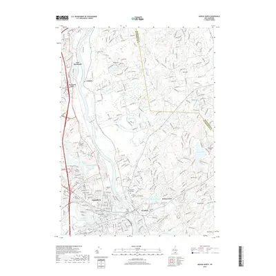
2018 Map of Nashua North
USGS Topo · Published 2018About this map
The Merrimack River bisects this landscape, separating the dense urban core of Nashua from the township of Hudson and the riverside community of Litchfield. The city's industrial and transportation legacy is evident near the Taylor Falls Bridge, where the Boston & Maine RR tracks parallel the waterway. Notable for local historians and genealogists are the numerous burial sites across the quadrangle, including the Old Burial Ground, the Hills Farms Cem, and the Saint Francois Xavier Cem. Development patterns show a clear contrast between the tightly gridded streets of the city center and the expanding residential corridors leading toward Hudson Center and East Merrimack. In the northern reaches, the terrain rises toward Rocky Hill and Wiley Hill, where smaller water bodies like Darrah Pond and Nesenkeag Brook drain the wooded uplands.
Find a feature on this map
304 named features on this map. Tap any name to fly to it.
Don’t see what you’re looking for? This feature index may not catch every label — zoom into the map to look around manually.
Map Details
Editions of this 2018 Nashua North Map
This is the sole edition of this map. No revisions or reprints were ever made.
Other maps of this area

1886 · Lowell
USGS Topo · 1:62,500

1893 · Lowell
USGS Topo · 1:62,500

1893 · Groton
USGS Topo · 1:62,500

1905 · Manchester
USGS Topo · 1:62,500

1906 · Milford
USGS Topo · 1:62,500

1918 · Lowell
USGS Topo · 1:62,500

1921 · Lowell
USGS Topo · 1:62,500

1931 · Lowell
USGS Topo · 1:48,000

1931 · Groton
USGS Topo · 1:48,000

1935 · Groton
USGS Topo · 1:62,500