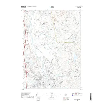
2021 Map of Nashua North
USGS Topo · Published 2021About this map
The Merrimack River serves as the central artery for this portion of southern New Hampshire, dividing the industrial and residential heart of Nashua from the community of Hudson. The landscape is defined by its transition from urban density to the smaller settlements of East Merrimack, Litchfield, and Hudson Center. Genealogists will find a significant concentration of burial sites, including Saint Stanislaus Cem, Saint Francois Xavier Cem, and the appropriately named Last Rest Cem.
Find a feature on this map
80 named features on this map. Tap any name to fly to it.
Don’t see what you’re looking for? This feature index may not catch every label — zoom into the map to look around manually.
Map Details
Editions of this 2021 Nashua North Map
This is the sole edition of this map. No revisions or reprints were ever made.
Other maps of this area

1886 · Lowell
USGS Topo · 1:62,500

1893 · Lowell
USGS Topo · 1:62,500

1893 · Groton
USGS Topo · 1:62,500

1905 · Manchester
USGS Topo · 1:62,500

1906 · Milford
USGS Topo · 1:62,500

1918 · Lowell
USGS Topo · 1:62,500

1921 · Lowell
USGS Topo · 1:62,500

1931 · Lowell
USGS Topo · 1:48,000

1931 · Groton
USGS Topo · 1:48,000

1935 · Groton
USGS Topo · 1:62,500