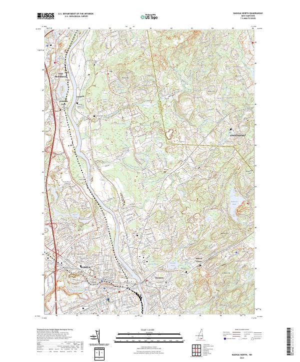
2024 Map of Nashua North
USGS Topo · Published 2024About this map
The Merrimack River serves as the central artery for this New Hampshire landscape, dividing the industrial hub of Nashua and its northern neighbor Litchfield. This modern topographical survey reveals a densely developed river corridor where civic institutions like the Hillsborough County Courthouse South and Alvirne High School stand alongside specialized ecological sites, including the Nashua National Fish Hatchery and the Merrimack River Atlantic Salmon Smolt Release Site.
Find a feature on this map
68 named features on this map. Tap any name to fly to it.
Don’t see what you’re looking for? This feature index may not catch every label — zoom into the map to look around manually.
Map Details
Editions of this 2024 Nashua North Map
This is the sole edition of this map. No revisions or reprints were ever made.
Other maps of this area

1886 · Lowell
USGS Topo · 1:62,500

1893 · Lowell
USGS Topo · 1:62,500

1893 · Groton
USGS Topo · 1:62,500

1905 · Manchester
USGS Topo · 1:62,500

1906 · Milford
USGS Topo · 1:62,500

1918 · Lowell
USGS Topo · 1:62,500

1921 · Lowell
USGS Topo · 1:62,500

1931 · Lowell
USGS Topo · 1:48,000

1931 · Groton
USGS Topo · 1:48,000

1935 · Groton
USGS Topo · 1:62,500