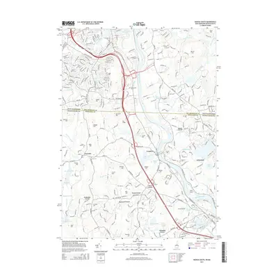
2015 Map of Nashua South
USGS Topo · Published 2015About this map
The Merrimack River bisects this landscape, flowing through a region where suburban development meets older residential clusters and preserved open spaces. The iconic Tyngsboro Bridge provides a primary crossing point near the town center of Tyngsboro, while to the west, the town of Dunstable maintains a more wooded character. Numerous family-named junctions and corners, such as Hayward Corner, Flints Corner, and Frederick Corner, speak to the historical property lines and local navigation points of the area.
Find a feature on this map
88 named features on this map. Tap any name to fly to it.
Don’t see what you’re looking for? This feature index may not catch every label — zoom into the map to look around manually.
Map Details
Editions of this 2015 Nashua South Map
This is the sole edition of this map. No revisions or reprints were ever made.
Other maps of this area

1886 · Lowell
USGS Topo · 1:62,500

1893 · Lowell
USGS Topo · 1:62,500

1893 · Groton
USGS Topo · 1:62,500

1905 · Manchester
USGS Topo · 1:62,500

1906 · Milford
USGS Topo · 1:62,500

1918 · Lowell
USGS Topo · 1:62,500

1921 · Lowell
USGS Topo · 1:62,500

1931 · Lowell
USGS Topo · 1:48,000

1931 · Groton
USGS Topo · 1:48,000

1935 · Ayer
USGS Topo · 1:24,000