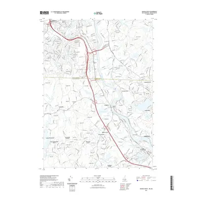
2021 Map of Nashua South
USGS Topo · Published 2021About this map
The Merrimack River serves as the central artery for this border region between New Hampshire and Massachusetts, where the urban sprawl of Nashua and Lowell meets a landscape of traditional New England corners and hills. The prominent Tyngsboro Bridge provides a vital crossing near Tyngsboro, while numerous named corners like Swan Corner and Whidden Corner reveal a legacy of decentralized rural settlements.
Find a feature on this map
97 named features on this map. Tap any name to fly to it.
Don’t see what you’re looking for? This feature index may not catch every label — zoom into the map to look around manually.
Map Details
Editions of this 2021 Nashua South Map
This is the sole edition of this map. No revisions or reprints were ever made.
Other maps of this area

1886 · Lowell
USGS Topo · 1:62,500

1893 · Lowell
USGS Topo · 1:62,500

1893 · Groton
USGS Topo · 1:62,500

1905 · Manchester
USGS Topo · 1:62,500

1906 · Milford
USGS Topo · 1:62,500

1918 · Lowell
USGS Topo · 1:62,500

1921 · Lowell
USGS Topo · 1:62,500

1931 · Lowell
USGS Topo · 1:48,000

1931 · Groton
USGS Topo · 1:48,000

1935 · Ayer
USGS Topo · 1:24,000