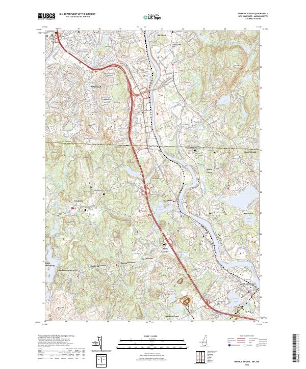
2024 Map of Nashua South
USGS Topo · Published 2024About this map
The Merrimack River serves as the central artery for this borderland corridor, flowing south through Nashua and Tyngsboro as it crosses from New Hampshire into Massachusetts. This modern survey reveals a landscape where dense residential neighborhoods around Rivier University give way to smaller crossroads settlements like Flints Corner, Swan Corner, and Frederick Corner. The geography is defined by a series of prominent glacial landforms, including Long Hill and Merrill Hill, which overlook the river valley and its numerous tributaries such as Salmon Brook and Deep Brook.
Find a feature on this map
92 named features on this map. Tap any name to fly to it.
Don’t see what you’re looking for? This feature index may not catch every label — zoom into the map to look around manually.
Map Details
Editions of this 2024 Nashua South Map
This is the sole edition of this map. No revisions or reprints were ever made.
Other maps of this area

1886 · Lowell
USGS Topo · 1:62,500

1893 · Lowell
USGS Topo · 1:62,500

1893 · Groton
USGS Topo · 1:62,500

1905 · Manchester
USGS Topo · 1:62,500

1906 · Milford
USGS Topo · 1:62,500

1918 · Lowell
USGS Topo · 1:62,500

1921 · Lowell
USGS Topo · 1:62,500

1931 · Lowell
USGS Topo · 1:48,000

1931 · Groton
USGS Topo · 1:48,000

1935 · Ayer
USGS Topo · 1:24,000