2022 Map of Nashville
USGS Topo · Published 2022About this map
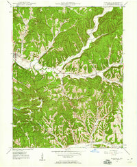
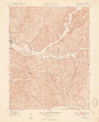
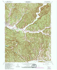
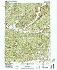
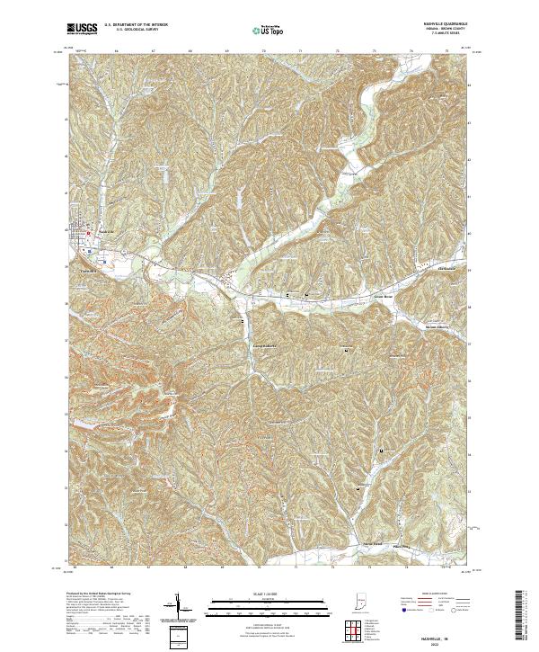
Nashville serves as the focal point for this area of southern Indiana, where the Brown County Courthouse anchors the town center amidst a landscape of deeply cut ridges and hollows. The terrain is defined by dramatic topographic variations, including Weddle Hollow, Pittman Hollow, and Mullis Hollow, which separate prominent rises such as Downey Hill and Brown Hill. Much of the southwest quadrant is occupied by Brown County State Park, a significant recreational area featuring Ogle Lake and Strahl Lake.
Find a feature on this map
134 named features on this map. Tap any name to fly to it.
Don’t see what you’re looking for? This feature index may not catch every label — zoom into the map to look around manually.
Map Details
Editions of this 2022 Nashville Map
This is the sole edition of this map. No revisions or reprints were ever made.
Historical Maps of Clarksdale Through Time
5 maps found