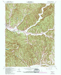
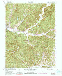
1961 Map of Nashville
USGS Topo · Published 1994About this map
Nashville serves as the focal point for this survey of Brown County, showcasing the intersection of small-town life and the expansive Brown County State Park. The map documents the intricate drainage patterns of Salt Creek and its branches, such as North Fork, alongside numerous family-named landmarks and small cemeteries. Settlement patterns are characterized by clusters of homesteads like the Aynes House and small rural communities including Gnaw Bone and Stone Head. Genealogists will find particular value in the identification of burial grounds like David Cem and Reeves Cem. Cultural landmarks, including the Covered Bridge and St Agnes Ch, are plotted against a landscape of ridges and hollows like Weddle Hollow and Kin Hubbard Ridge. The topography is marked by significant elevations such as Weed Patch Hill and Brown Hill, which have historically defined the movement and isolation of these southern Indiana townships.
Find a feature on this map
86 named features on this map. Tap any name to fly to it.
Don’t see what you’re looking for? This feature index may not catch every label — zoom into the map to look around manually.
Map Details
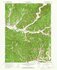
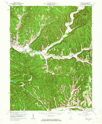
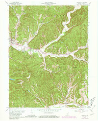
Editions of this 1961 Nashville Map
5 editions found
Other maps of this area

1942 · Franklin
USGS Topo · 1:125,000

1946 · Belmont
USGS Topo · 1:24,000

1947 · Nashville
USGS Topo · 1:24,000

1947 · Elkinsville
USGS Topo · 1:24,000

1947 · Franklin
USGS Topo · 1:62,500

1948 · New Bellsville
USGS Topo · 1:24,000

1948 · Waymansville
USGS Topo · 1:24,000

1948 · Nineveh
USGS Topo · 1:24,000

1948 · Fruitdale
USGS Topo · 1:24,000

1948 · Morgantown
USGS Topo · 1:24,000