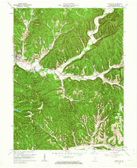
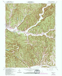
1961 Map of Nashville
USGS Topo · Published 1967About this map
Nashville serves as the focal point of this 1960s study, situated at the junction of the North Fork and the North Fork Salt Creek. The surrounding landscape is characterized by a dense network of wooded ridges and hollows, including Mountain Tea Ridge and Hobbs Hollow, where traditional topographic features like the Covered Bridge and several fire towers remain prominent. Notable rural landmarks such as the Aynes House and the Hoosier Nest are scattered throughout the hills, reflecting the area's residential character before significant modern expansion.
Find a feature on this map
73 named features on this map. Tap any name to fly to it.
Don’t see what you’re looking for? This feature index may not catch every label — zoom into the map to look around manually.
Map Details
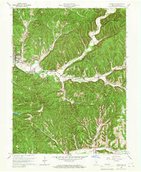
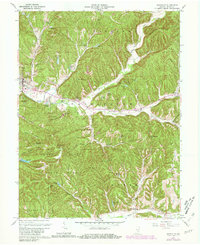
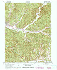
Editions of this 1961 Nashville Map
5 editions found
Other maps of this area

1942 · Franklin
USGS Topo · 1:125,000

1946 · Belmont
USGS Topo · 1:24,000

1947 · Nashville
USGS Topo · 1:24,000

1947 · Elkinsville
USGS Topo · 1:24,000

1947 · Franklin
USGS Topo · 1:62,500

1948 · New Bellsville
USGS Topo · 1:24,000

1948 · Waymansville
USGS Topo · 1:24,000

1948 · Nineveh
USGS Topo · 1:24,000

1948 · Fruitdale
USGS Topo · 1:24,000

1948 · Morgantown
USGS Topo · 1:24,000