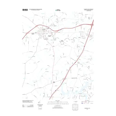
2013 Map of Nashville
USGS Topo · Published 2013About this map
Nashville serves as the focal point of this region, surrounded by emerging residential clusters like Sun Valley, Westgate Terrace, and Birchwood Homes. The landscape is defined by the drainage of several local waterways, including Stony Cr to the north and the winding Sapony Cr to the south, which feeds into the Tar River Reservoir at the sheet's southern edge. These creeks once dictated the local economy and settlement patterns, evidenced by the numerous crossroads that dot the countryside.
Find a feature on this map
222 named features on this map. Tap any name to fly to it.
Don’t see what you’re looking for? This feature index may not catch every label — zoom into the map to look around manually.
Map Details
Editions of this 2013 Nashville Map
This is the sole edition of this map. No revisions or reprints were ever made.
Other maps of this area

1902 · Rocky Mount
USGS Topo · 1:62,500

1902 · Spring Hope
USGS Topo · 1:62,500

1904 · Rocky Mount
USGS Topo · 1:62,500

1904 · Springhope
USGS Topo · 1:62,500

1953 · Norfolk
USGS Topo · 1:250,000

1953 · Rocky Mount
USGS Topo · 1:250,000

1953 · Raleigh
USGS Topo · 1:250,000

1953 · Greensboro
USGS Topo · 1:250,000

1954 · Greensboro
USGS Topo · 1:250,000

1954 · Rocky Mount
USGS Topo · 1:250,000