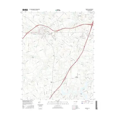
2016 Map of Nashville
USGS Topo · Published 2016About this map
Nashville serves as the central hub of this North Carolina landscape, where the traditional street grid of W Railroad St and E Church St meets the modern infrastructure of the regional highway system. The town is flanked by significant local landmarks such as Forest Hill Cem and Oakland Cem, reflecting its long-standing community roots. To the south, the terrain transitions into a more rural character defined by agricultural crossroads and water features, including the unique Wells Mineral Spring near Sapony Cr.
Find a feature on this map
146 named features on this map. Tap any name to fly to it.
Don’t see what you’re looking for? This feature index may not catch every label — zoom into the map to look around manually.
Map Details
Editions of this 2016 Nashville Map
This is the sole edition of this map. No revisions or reprints were ever made.
Other maps of this area

1902 · Rocky Mount
USGS Topo · 1:62,500

1902 · Spring Hope
USGS Topo · 1:62,500

1904 · Rocky Mount
USGS Topo · 1:62,500

1904 · Springhope
USGS Topo · 1:62,500

1953 · Norfolk
USGS Topo · 1:250,000

1953 · Rocky Mount
USGS Topo · 1:250,000

1953 · Raleigh
USGS Topo · 1:250,000

1953 · Greensboro
USGS Topo · 1:250,000

1954 · Greensboro
USGS Topo · 1:250,000

1954 · Rocky Mount
USGS Topo · 1:250,000