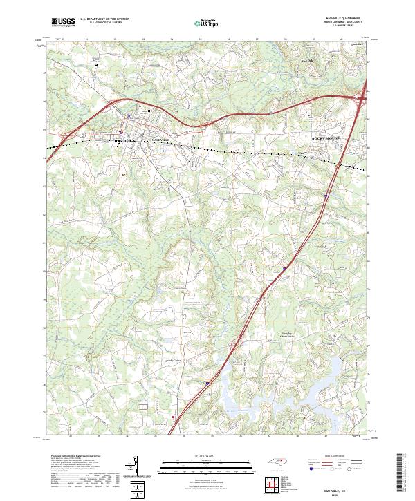
2022 Map of Nashville
USGS Topo · Published 2022About this map
The Nash County Courthouse stands as the central landmark of Nashville, grounding this modern topographic study of central Nash County. The landscape is defined by the transition from the dense street grids of the county seat to the suburban expansion toward Rocky Mount and the rural agricultural reaches of Sandy Cross and Red Oak. Significant water features like the Tar River Reservoir and Sapony Creek drain the region, while the Wells Mineral Spring remains a notable point of interest south of town. For those tracing local heritage, the map identifies several key burial grounds, including Forest Hill Cem and the Union Hill Baptist Church Cem. The road network illustrates the area's development, featuring the bypass of US Highway 64 and the established local thoroughfares of Eastern Ave and Western Ave.
Find a feature on this map
180 named features on this map. Tap any name to fly to it.
Don’t see what you’re looking for? This feature index may not catch every label — zoom into the map to look around manually.
Map Details
Editions of this 2022 Nashville Map
This is the sole edition of this map. No revisions or reprints were ever made.
Other maps of this area

1902 · Rocky Mount
USGS Topo · 1:62,500

1902 · Spring Hope
USGS Topo · 1:62,500

1904 · Rocky Mount
USGS Topo · 1:62,500

1904 · Springhope
USGS Topo · 1:62,500

1953 · Norfolk
USGS Topo · 1:250,000

1953 · Rocky Mount
USGS Topo · 1:250,000

1953 · Raleigh
USGS Topo · 1:250,000

1953 · Greensboro
USGS Topo · 1:250,000

1954 · Greensboro
USGS Topo · 1:250,000

1954 · Rocky Mount
USGS Topo · 1:250,000