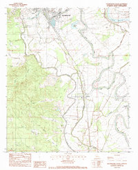
1983 Map of Natchitoches South
USGS Topo · Published 1984About this map
Cane River Lake meanders through this landscape, defining the agricultural and settlement patterns south of Natchitoches in the early 1980s. The area is characterized by the tight bends of the river, where small communities like Natchez and Bermuda are established along the fertile banks. A dense network of local landmarks, including St Pauls Ch and St Charles Ch, highlights the importance of parish life in this riverine environment. On the northern edge, the presence of Northwestern State Univ and the Natchitoches National Fish Hatchery indicates the transition from the city’s academic and institutional outskirts to the more agrarian reaches of the parish. The Missouri Pacific railroad cuts a straight line through the winding bayous, such as Boulet Bayou and Serpent Bayou, illustrating the contrast between engineered transit and the natural hydrology of the Red River valley.
Find a feature on this map
42 named features on this map. Tap any name to fly to it.
Don’t see what you’re looking for? This feature index may not catch every label — zoom into the map to look around manually.
Map Details
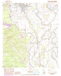
Editions of this 1983 Natchitoches South Map
2 editions found
Other maps of this area

1935 · Hagewood
USGS Topo · 1:31,680

1937 · Bermuda
USGS Topo · 1:31,680

1937 · Campti SE
USGS Topo · 1:31,680

1937 · Bellwood
USGS Topo · 1:31,680

1937 · Montgomery
USGS Topo · 1:62,500

1937 · Campti SW
USGS Topo · 1:31,680

1937 · Cloutierville
USGS Topo · 1:31,680

1937 · Cypress
USGS Topo · 1:31,680

1942 · Montgomery
USGS Topo · 1:62,500

1943 · Provencal
USGS Topo · 1:62,500