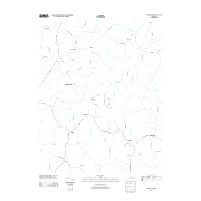
2013 Map of Nathalie
USGS Topo · Published 2013About this map
Nathalie and the surrounding rural communities of Halifax County are defined by a network of creeks and small settlements situated west of the Roanoke River. This landscape reflects a long history of milling and agriculture, notably represented by Morefield Mill on Birch Cr. The map details a transition from the river lowlands near Clarkton to the higher ground of the interior, where local commerce was historically tied to the railroad and crossroads.
Find a feature on this map
83 named features on this map. Tap any name to fly to it.
Don’t see what you’re looking for? This feature index may not catch every label — zoom into the map to look around manually.
Map Details
Editions of this 2013 Nathalie Map
This is the sole edition of this map. No revisions or reprints were ever made.
Other maps of this area

1892 · Lynchburg
USGS Topo · 1:125,000

1892 · Appomattox
USGS Topo · 1:125,000

1947 · Roanoke
USGS Topo · 1:250,000

1953 · Greensboro
USGS Topo · 1:250,000

1954 · Greensboro
USGS Topo · 1:250,000

1954 · Halifax
USGS Topo · 1:62,500

1954 · Riceville
USGS Topo · 1:62,500

1956 · Brookneal
USGS Topo · 1:62,500

1956 · Gladys
USGS Topo · 1:62,500

1959 · Roanoke
USGS Topo · 1:250,000