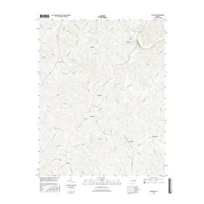
2016 Map of Nathalie
USGS Topo · Published 2016About this map
Nathalie serves as the central hub for this rural stretch of Southside Virginia, where the landscape is defined by the winding drainages of Childrey Creek and Birch Cr. The map reveals a network of small, established communities including Catawba, Lennig, and Rabat, many connected by historically significant routes like Nathalie Rd and Railroad Dr. Genealogy researchers will find several localized burial sites, such as Saint Thomas Cem and Catawba Cem, which anchor the surrounding farmsteads. The northeastern corner is bounded by the Roanoke River, highlighting the transition from upland ridges to fertile river lowlands. This survey illustrates a settlement pattern where residential clusters and family-named landmarks are closely tied to the many tributaries of Terrible Creek and Blackwater Cr.
Find a feature on this map
77 named features on this map. Tap any name to fly to it.
Don’t see what you’re looking for? This feature index may not catch every label — zoom into the map to look around manually.
Map Details
Editions of this 2016 Nathalie Map
This is the sole edition of this map. No revisions or reprints were ever made.
Other maps of this area

1892 · Lynchburg
USGS Topo · 1:125,000

1892 · Appomattox
USGS Topo · 1:125,000

1947 · Roanoke
USGS Topo · 1:250,000

1953 · Greensboro
USGS Topo · 1:250,000

1954 · Greensboro
USGS Topo · 1:250,000

1954 · Halifax
USGS Topo · 1:62,500

1954 · Riceville
USGS Topo · 1:62,500

1956 · Brookneal
USGS Topo · 1:62,500

1956 · Gladys
USGS Topo · 1:62,500

1959 · Roanoke
USGS Topo · 1:250,000