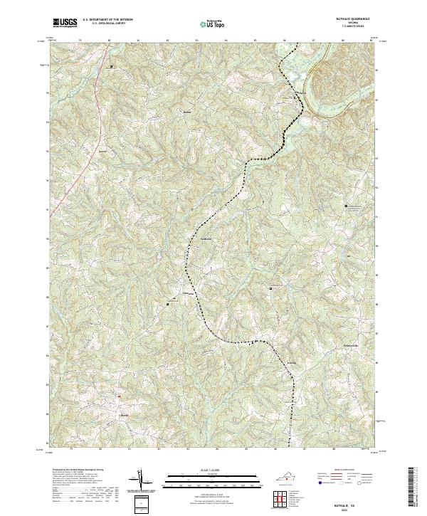
2022 Map of Nathalie
USGS Topo · Published 2022About this map
Nathalie and the surrounding agricultural hamlets of Halifax County are defined by a network of creeks and ridges leading toward the Roanoke River in the northeast. The landscape is dotted with family and community burial grounds, such as Childrey Cem near the northern boundary and Armistead Cem further south, reflecting deep generational ties to the land. Settlement patterns follow the high ground and historic corridors like Nathalie Rd and Volens Rd, connecting smaller locales such as Catawba and Rabat.
Find a feature on this map
82 named features on this map. Tap any name to fly to it.
Don’t see what you’re looking for? This feature index may not catch every label — zoom into the map to look around manually.
Map Details
Editions of this 2022 Nathalie Map
This is the sole edition of this map. No revisions or reprints were ever made.
Other maps of this area

1892 · Lynchburg
USGS Topo · 1:125,000

1892 · Appomattox
USGS Topo · 1:125,000

1947 · Roanoke
USGS Topo · 1:250,000

1953 · Greensboro
USGS Topo · 1:250,000

1954 · Greensboro
USGS Topo · 1:250,000

1954 · Halifax
USGS Topo · 1:62,500

1954 · Riceville
USGS Topo · 1:62,500

1956 · Brookneal
USGS Topo · 1:62,500

1956 · Gladys
USGS Topo · 1:62,500

1959 · Roanoke
USGS Topo · 1:250,000