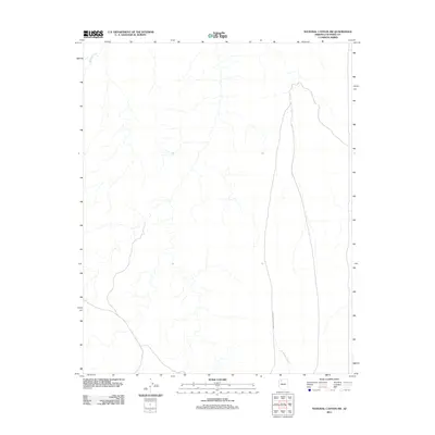
2011 Map of National Canyon SW
USGS Topo · Published 2011About this map
Indian Service Road 12 traverses the high desert plateau of Coconino County in this 2011 survey, marking the primary human imprint on an otherwise sparsely developed landscape. The terrain is defined by its drainage patterns, with Sandstone Wash and Mohawk Creek carved into the geography, illustrating the hydrological network of this arid region. This topographic study captures the area's infrastructure as it existed at the start of the decade, showing the alignment of tribal service roads and natural watercourses before more recent environmental or development changes. The lack of dense settlement or named structures emphasizes the remote nature of this portion of the National Canyon SW quadrangle, making it a clear reference for understanding the land use and access routes within this specific section of Arizona.
Find a feature on this map
3 named features on this map. Tap any name to fly to it.
Don’t see what you’re looking for? This feature index may not catch every label — zoom into the map to look around manually.
Map Details
Editions of this 2011 National Canyon SW Map
This is the sole edition of this map. No revisions or reprints were ever made.
Other maps of this area

1886 · Diamond Creek
USGS Topo · 1:250,000

1886 · Mt. Trumbull
USGS Topo · 1:250,000

1886 · Chino
USGS Topo · 1:250,000

1886 · Kaibab
USGS Topo · 1:250,000

1891 · Chino
USGS Topo · 1:250,000

1892 · Diamond Creek
USGS Topo · 1:250,000

1892 · Mt. Trumbull
USGS Topo · 1:250,000

1948 · Williams
USGS Topo · 1:250,000

1953 · Grand Canyon
USGS Topo · 1:250,000

1954 · Williams
USGS Topo · 1:250,000