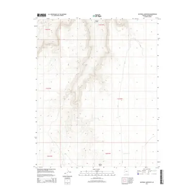
2014 Map of National Canyon SW
USGS Topo · Published 2014About this map
National Canyon carves a deep path through the Coconino plateau on this 2014 survey, illustrating the stark drainage patterns characteristic of this part of northern Arizona. The landscape is defined by its dramatic elevation changes, where seasonal water flow in Sandstone Wash and other unnamed tributaries have sculpted the earth into complex ridges and depressions. Human presence is sparse, represented primarily by Bia-12, which provides the only major navigational route through these tribal lands. This map is a study in verticality and erosion, showing how the local topography is dictated by the ancient movements of water toward the Colorado River system. It serves as a precise record of the land surface before contemporary environmental shifts or further development might alter these long-standing geological paths.
Find a feature on this map
9 named features on this map. Tap any name to fly to it.
Don’t see what you’re looking for? This feature index may not catch every label — zoom into the map to look around manually.
Map Details
Editions of this 2014 National Canyon SW Map
This is the sole edition of this map. No revisions or reprints were ever made.
Other maps of this area

1886 · Diamond Creek
USGS Topo · 1:250,000

1886 · Mt. Trumbull
USGS Topo · 1:250,000

1886 · Chino
USGS Topo · 1:250,000

1886 · Kaibab
USGS Topo · 1:250,000

1891 · Chino
USGS Topo · 1:250,000

1892 · Diamond Creek
USGS Topo · 1:250,000

1892 · Mt. Trumbull
USGS Topo · 1:250,000

1948 · Williams
USGS Topo · 1:250,000

1953 · Grand Canyon
USGS Topo · 1:250,000

1954 · Williams
USGS Topo · 1:250,000