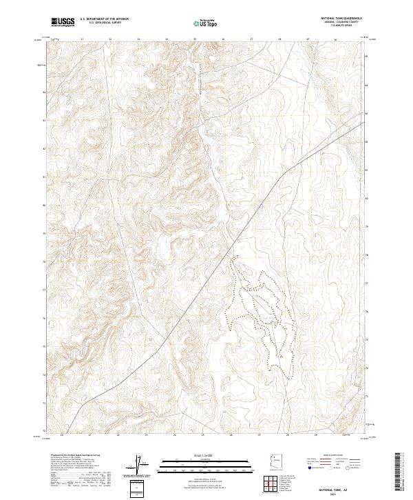
2021 Map of National Tank
USGS Topo · Published 2021About this map
National Canyon carves through this high-elevation landscape in Coconino County, serving as the dominant geographic feature in an arid environment where water management is paramount. The 2021 survey highlights the distribution of vital water resources like National Tank, Potters Hole, and Sink Tank, which are scattered across the township boundaries of t30n r6w and t29n r7w. These catchments, alongside ephemeral drainages such as Albers Wash and Sandstone Wash, illustrate the historical and ongoing necessity of surface water collection for land use in the Arizona backcountry. Transportation is limited to rugged routes like Co RD 11, reflecting a remote area defined more by its natural topography and seasonal water flow than by dense settlement.
Find a feature on this map
11 named features on this map. Tap any name to fly to it.
Don’t see what you’re looking for? This feature index may not catch every label — zoom into the map to look around manually.
Map Details
Editions of this 2021 National Tank Map
This is the sole edition of this map. No revisions or reprints were ever made.
Other maps of this area

1886 · Diamond Creek
USGS Topo · 1:250,000

1886 · Mt. Trumbull
USGS Topo · 1:250,000

1886 · Chino
USGS Topo · 1:250,000

1886 · Kaibab
USGS Topo · 1:250,000

1891 · Chino
USGS Topo · 1:250,000

1892 · Diamond Creek
USGS Topo · 1:250,000

1892 · Mt. Trumbull
USGS Topo · 1:250,000

1948 · Williams
USGS Topo · 1:250,000

1953 · Grand Canyon
USGS Topo · 1:250,000

1954 · Williams
USGS Topo · 1:250,000