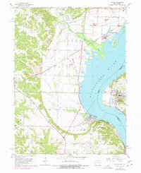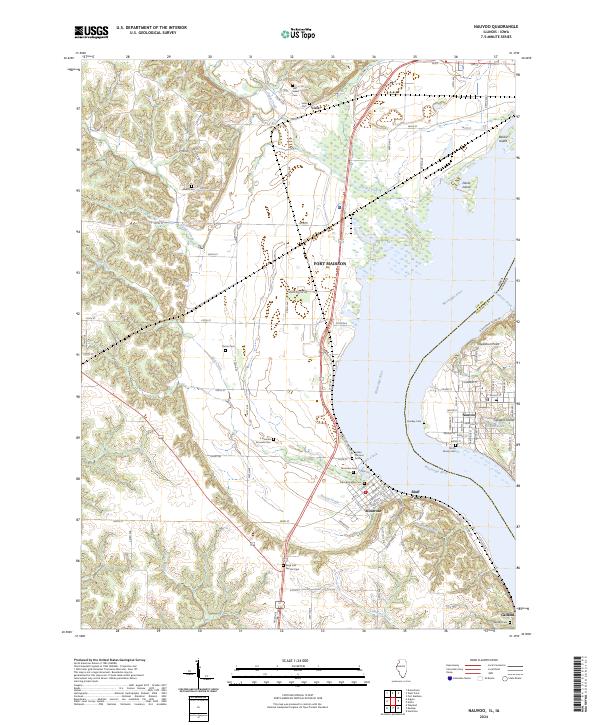
2024 Map of Nauvoo
USGS Topo · Published 2024About this map
The Mississippi River defines the landscape of this river-border region, where Nauvoo, Illinois, faces across to the Iowa settlements of Montrose, Viele, and Galland. The area is remarkably dense with burial sites and markers of early local history, ranging from the Smith Family Cem on the Illinois side to the Indian Princess Grave and Half Breed Cem in Iowa. The terrain follows the river's winding course, punctuated by Inspiration Point and several river islands such as Devils Island and Gilligans Island. Inland, the geography is carved by numerous tributaries like Devils Creek and Lamoilees Creek. The map details the transition from the organized street grids of the riverfront towns to the rural section lines and family-named cemeteries that record the heritage of Lee County and Hancock County.
Find a feature on this map
70 named features on this map. Tap any name to fly to it.
Don’t see what you’re looking for? This feature index may not catch every label — zoom into the map to look around manually.
Map Details
Editions of this 2024 Nauvoo Map
This is the sole edition of this map. No revisions or reprints were ever made.