
1958 Map of Necedah
USGS Topo · Published 1960About this map
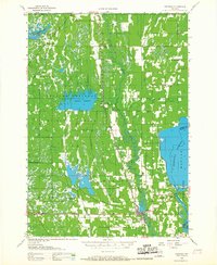
The Necedah National Wildlife Refuge dominates this Central Wisconsin landscape, illustrating a complex network of wetlands and artificial impoundments along the Yellow River. The map documents the late-1950s hydrology of the region, featuring significant water bodies like the Sprague Flowage, Potters Flowage, and the vast Petenwell Flowage on the Wisconsin River. These flowages, created for conservation and power, contrast with the older agricultural and timber patterns of the surrounding townships.
Find a feature on this map
29 named features on this map. Tap any name to fly to it.
Don’t see what you’re looking for? This feature index may not catch every label — zoom into the map to look around manually.
Map Details
Editions of this 1958 Necedah Map
3 editions found
Other maps of this area

1919 · Kendall
USGS Topo · 1:62,500

1921 · Mauston
USGS Topo · 1:62,500

1921 · Kendall
USGS Topo · 1:62,500

1953 · Eau Claire
USGS Topo · 1:250,000

1955 · Green Bay
USGS Topo · 1:250,000

1957 · Wisconsin Rapids
USGS Topo · 1:48,000

1957 · Pittsville
USGS Topo · 1:48,000

1957 · City Point
USGS Topo · 1:48,000

1957 · Madison
USGS Topo · 1:250,000

1958 · Eau Claire
USGS Topo · 1:250,000