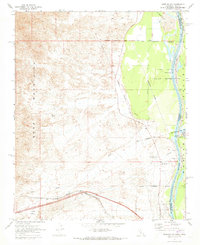
1970 Map of Needles NW
USGS Topo · Published 1973About this map
The Colorado River serves as the focal point for this 1970s survey, marking the state boundary between California and Arizona. The landscape is defined by the contrast between the low-lying Mohave Valley and the steep slopes of the Dead Mountains to the west. Significant infrastructure for the era is visible, including the Atchison Topeka and Santa Fe railroad line passing through the settlement of Java, and several industrial markers such as a Compressor Station and a Borrow Pit.
Find a feature on this map
25 named features on this map. Tap any name to fly to it.
Don’t see what you’re looking for? This feature index may not catch every label — zoom into the map to look around manually.
Map Details
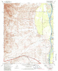
Editions of this 1970 Needles NW Map
2 editions found
Other maps of this area

1886 · Camp Mohave
USGS Topo · 1:250,000

1892 · Camp Mohave
USGS Topo · 1:250,000

1903 · Needles
USGS Topo · 1:125,000

1904 · Needles Special
USGS Topo · 1:125,000

1926 · Mohave City
USGS Topo · 1:96,000

1942 · Camp Mohave
USGS Topo · 1:250,000

1943 · Bannock
USGS Topo · 1:62,500

1947 · Kingman
USGS Topo · 1:250,000

1948 · Kingman
USGS Topo · 1:250,000

1950 · Davis Dam
USGS Topo · 1:62,500