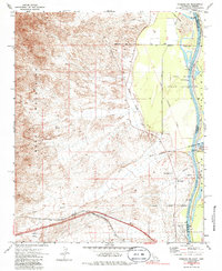
1970 Map of Needles NW
USGS Topo · Published 1986About this map
The Dead Mountains dominate the western landscape of this desert corridor, casting long shadows toward the Mohave Valley and the Colorado River. This survey captures the complex boundary history of the tristate area, specifically noted by the Von Schmidt Line 1872 and the Fort Mojave Indian Reservation lands. Along the river's edge, small outposts like Soto Ranch and the Walters Ranch Landing Field indicate the sparse but vital human presence in the valley.
Find a feature on this map
29 named features on this map. Tap any name to fly to it.
Don’t see what you’re looking for? This feature index may not catch every label — zoom into the map to look around manually.
Map Details
Editions of this 1970 Needles NW Map
2 editions found
Other maps of this area

1886 · Camp Mohave
USGS Topo · 1:250,000

1892 · Camp Mohave
USGS Topo · 1:250,000

1903 · Needles
USGS Topo · 1:125,000

1904 · Needles Special
USGS Topo · 1:125,000

1926 · Mohave City
USGS Topo · 1:96,000

1942 · Camp Mohave
USGS Topo · 1:250,000

1943 · Bannock
USGS Topo · 1:62,500

1947 · Kingman
USGS Topo · 1:250,000

1948 · Kingman
USGS Topo · 1:250,000

1950 · Davis Dam
USGS Topo · 1:62,500