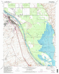
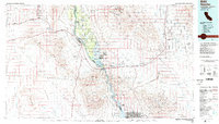
1970 Map of Needles
USGS Topo · Published 1995About this map
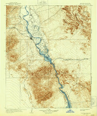
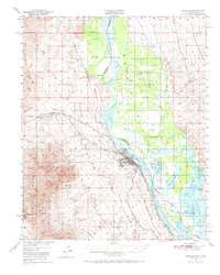
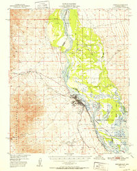
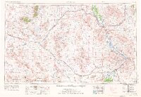
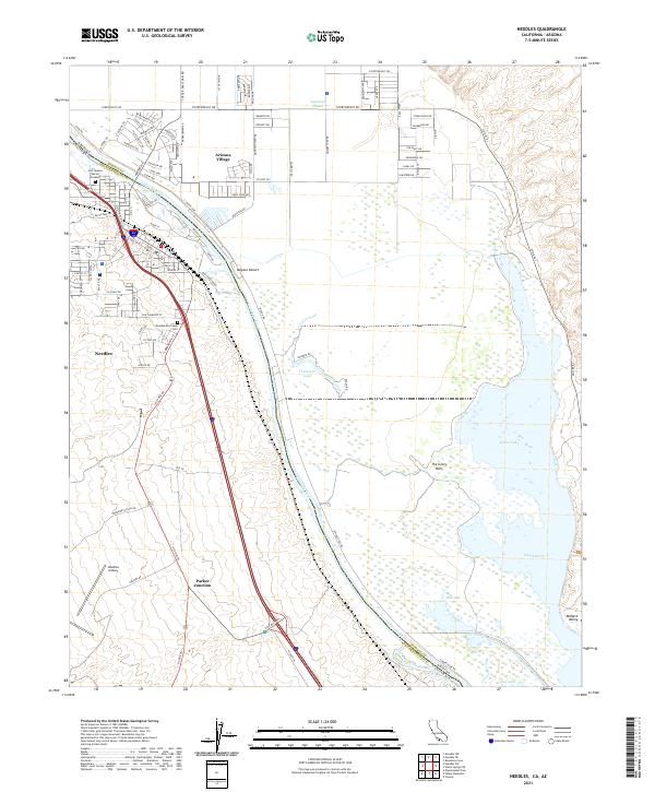
The Colorado River defines the border between California and Arizona on this mid-century survey, anchoring the desert community of Needles. The town serves as a vital transportation hub, where the Atchison Topeka and Santa Fe railroad corridor and the Needles Municipal Airport converge. Development in the city is marked by civic landmarks like the High School, Ed Parry Park, and the Needles Recreation Area.
Find a feature on this map
46 named features on this map. Tap any name to fly to it.
Don’t see what you’re looking for? This feature index may not catch every label — zoom into the map to look around manually.
Map Details
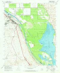
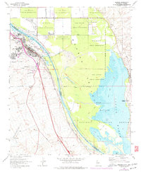
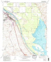
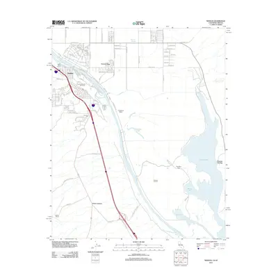
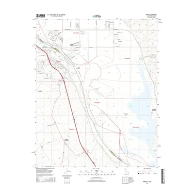
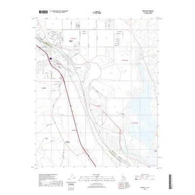
Editions of this 1970 Needles Map
4 editions found
Historical Maps of Needles Through Time
13 maps found

1903 Needles
San Bernardino County, CA
1904 Needles
San Bernardino County, CA
1950 Needles
San Bernardino County, CA
1952 Needles
San Bernardino County, CA

1954 Needles
San Bernardino County, CA
1956 Needles
San Bernardino County, CA
1970 Needles
San Bernardino County, CA

1981 Needles
San Bernardino County, CA
1985 Needles
San Bernardino County, CA
2012 Needles
San Bernardino County, CA
2015 Needles
San Bernardino County, CA
2018 Needles
San Bernardino County, CA
2021 Needles
San Bernardino County, CA