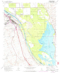
1970 Map of Needles
USGS Topo · Published 1977About this map
The Colorado River serves as the central artery for this desert borderland, defining the boundary between California and Arizona as it flows through the Mohave Valley. The town of Needles is the primary hub, showing a concentrated street grid and established infrastructure like the Atchison Topeka and Santa Fe Railroad and the Needles Municipal Airport. Residential areas such as Colorado Vista and Riverview extend from the central core toward the river's edge, where leisure and industry meet at the Needles Golf Course and nearby Gravel Pits.
Find a feature on this map
53 named features on this map. Tap any name to fly to it.
Don’t see what you’re looking for? This feature index may not catch every label — zoom into the map to look around manually.
Map Details
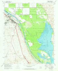
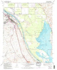
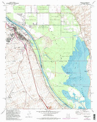
Editions of this 1970 Needles Map
4 editions found
Other maps of this area

1903 · Needles
USGS Topo · 1:125,000

1904 · Needles Special
USGS Topo · 1:125,000

1943 · Topock
USGS Topo · 1:62,500

1950 · Topock
USGS Topo · 1:62,500

1950 · Sawtooth Range
USGS Topo · 1:62,500

1950 · Needles
USGS Topo · 1:62,500

1951 · Topock
USGS Topo · 1:62,500

1951 · Sawtooth Range
USGS Topo · 1:62,500

1952 · Needles
USGS Topo · 1:62,500

1954 · Needles
USGS Topo · 1:250,000