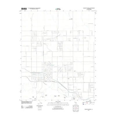
2012 Map of Neenach School
USGS Topo · Published 2012About this map
Los Angeles Aqueduct and the Governor Edmund G Brown California Aqueduct define the water infrastructure of this Kern County landscape. The map reveals an organized grid of ranching and agricultural operations, including Neenach Ranch, Gorindo Ranch, and Manzana Ranch, which highlight the rural settlement patterns typical of the high desert. Localized features such as Holiday Lake and the small residential pockets in Happy Valley suggest small communities integrated into the arid environment.
Find a feature on this map
102 named features on this map. Tap any name to fly to it.
Don’t see what you’re looking for? This feature index may not catch every label — zoom into the map to look around manually.
Map Details
Editions of this 2012 Neenach School Map
This is the sole edition of this map. No revisions or reprints were ever made.
Other maps of this area

1903 · Tejon
USGS Topo · 1:125,000

1915 · Elizabeth Lake
USGS Topo · 1:125,000

1917 · Elizabeth Lake
USGS Topo · 1:125,000

1932 · Fairmont
USGS Topo · 1:24,000

1932 · Neenach
USGS Topo · 1:24,000

1933 · Manzana
USGS Topo · 1:24,000
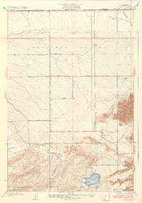
1937 · Fairmont
USGS Topo · 1:24,000
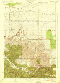
1938 · Manzana
USGS Topo · 1:24,000

1938 · Liebre
USGS Topo · 1:24,000

1943 · Neenach
USGS Topo · 1:62,500