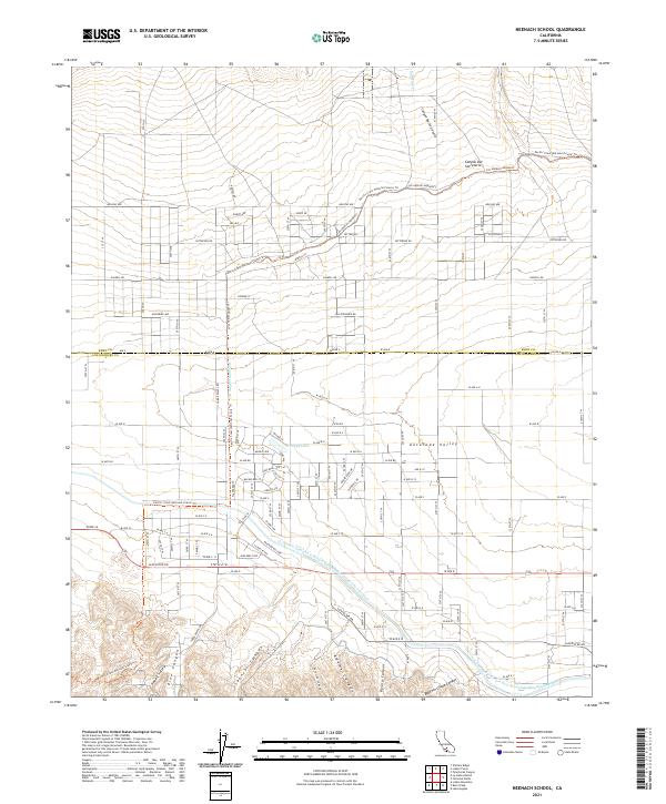
2021 Map of Neenach School
USGS Topo · Published 2021About this map
The Antelope Valley landscape in this northern corner of Los Angeles County is defined by a rigorous grid of ranch roads and significant water infrastructure. The Governor Edmund G Brown East Branch California Aqueduct and the Los Angeles Aqueduct cut diagonally across the terrain, illustrating the critical role of water engineering in this part of California. The rugged southern terrain is marked by numerous deep incisions such as Pine Canyon, Adams Canyon, and Rivera Canyon, which give way to the more level valley floor to the north.
Find a feature on this map
59 named features on this map. Tap any name to fly to it.
Don’t see what you’re looking for? This feature index may not catch every label — zoom into the map to look around manually.
Map Details
Editions of this 2021 Neenach School Map
This is the sole edition of this map. No revisions or reprints were ever made.
Other maps of this area

1903 · Tejon
USGS Topo · 1:125,000

1915 · Elizabeth Lake
USGS Topo · 1:125,000

1917 · Elizabeth Lake
USGS Topo · 1:125,000

1932 · Fairmont
USGS Topo · 1:24,000

1932 · Neenach
USGS Topo · 1:24,000

1933 · Manzana
USGS Topo · 1:24,000
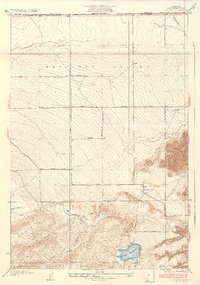
1937 · Fairmont
USGS Topo · 1:24,000
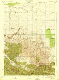
1938 · Manzana
USGS Topo · 1:24,000

1938 · Liebre
USGS Topo · 1:24,000

1943 · Neenach
USGS Topo · 1:62,500